
Autumn has finally arrived here in northern Texas Wichita Falls , TX
The good news is it looks like that awful high pressure “death ridge” has finally broken down and we are now starting to see some cooler temperatures and we are starting to get some much needed rain. This year’s drought has been devastating. Over 3 million acres have been burned in Texas
Thanks for the support.
-Ben
09/17 Chase Report:
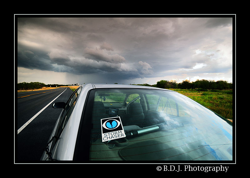
I was actually not planning to chase this day. I had other plans, but when I got the opportunity to leave and do a little storm chasing I had to take it. Thunderstorms were developing along a trough/front that was moving through our area. Around 6pm thunderstorms started to form along the trough and slowly move east. While upper level winds weren’t terribly impressive, ample moisture return (70 dewpoints) and plenty of instability (almost 4000 J/kg CAPE ) would generate scattered severe thunderstorms
 |
Just after 6pm I leave to storm chase. There are storms to my south, west and north. The one up north looks very healthy with a nice core and almost a hook shape forming. I decide to chase after the cell to the west. |
 |
| While this storm was over 30miles away I was still able to make out the storm’s structure. |
 |
| This storm actually had a nice lowering on it with good rising motion. It was too far away to tell if it was rotating. |
 |
| Storm to the south had a great looking barrel shaped updraft. |
 |
I try to catch up to the intensifying supercell and blast north to highway 240. I am heading for |
 |
Still captured from video. I abandon the storm and blast back to Burnett Ranch Road(where I left the tripod). Luckily this is an old farm road and not many vehicles drive by. Someone could have got their hands on a used $400 tripod! I manage to get the tripod back and double check to make sure I have everything. |
 |
Still captured from video. Contrast enhanced. I noticed something while driving back for my tripod, there was an interesting feature dangling below the cloud base. I pulled out my camcorder and shot some video handheld while driving 75mph. I was sickened when I saw what was on the LCD, a very large lowering, but it was nearly impossible to tell if it was rotating. |
 |
It is very difficult to tell if this was a tornado. There is no visible debris cloud and there were no other reports of funnels or tornadoes on this storm. Burkburnett, however, did call in a report of a 70mph wind gust just before 7pm. My guess this is the RFD that hit them. I’ve also included a level 2 version of the velocity scans. |
 |
| The storm is moving to fast for me to catch up before the suns sets. I leave this storm and pursue a developing cell to my west. |
 |
| This was the view to my west. |
 |
| This was the view to my east. |
 |
| This was an incredible sunset. |
 |
| This little storm struggled to hold on to as much of the daylight as it could. As the sun sets, the instability dropped pretty quickly, not to mention the cold pools from previous convection choking off the inflow. |
 |
| One of the few lightning captures I got that day. |
 |
| Another lightning shot. |
 |
| As the sun descends below the horizon the storms start to wither away. This was the cell to my south as it moved just east of my location. I got a really good view of this dying storm. 9/18 Chase Report: Today was the original chase day for this weekend. But Saturday’s chase was so close I couldn’t help but chase it. My target was |
 |
I am standing under a cumulus field with some enhanced lift and a few towers trying to develop. Maybe I won’t have to drive to |
 |
| There are a few towers trying to form just to my north according to radar. |
 |
| On the way to |
 |
It doesn’t take them long to beef up and start falling apart. |
 |
| On the leading edge of the storm. This storm is not organized, but it still was worth getting a few captures. |

 |
| Hmm…Is an isolated cell breaking from the line? |
 |
| It certainly looks like it. A nice isolated thunderstorm that won’t have to compete for moisture and won’t get choked off by other storms’ outflow. I should have paid more attention to the cell to my north… |
 |
I grab one more shot of the cell to my north. This formed a cool looking shelf cloud. |
 |
The cell to my south leads me on a wild goose chase. I should have paid more attention to the cell to my north. It eats the cell to my south and starts to go crazy! |
 |
| What is left of the southern cell. |
 |
| Northern cell munching on all the moisture from the southern cell. |
 |
| This storm starts to look like its pulling some decent inflow. |
 |
Its really starting to show some signs of organization. Do I see an updraft base? I think so. |
 |
Just outside of |
 |
I decide to hang back in Gunter for a little bit and see where the storm is moving. If it heads east I can drive into Van Alstyne for an intercept. |
 |
| Plus I had to stop and shoot this awesome sky. |


 |
| Looks like there could be some rotation to this updraft. |
 |
I head east and end just north of Van Alstyne. |
 |
| This storm was really starting to rotate. |
 |
I remember driving through the back roads to get to Van Alstyne and I kept thinking I was seeing some kind of lowering far back in the storm. Well, I finally get in position and this rotating wall cloud emerges from the storm. This was quite the surprise! |

 |
| The RFD/new developing cell starts to hit me and I am quickly blindsided by a curtain of rain as it wraps around the meso. I try to outrun, but visibility was near zero. I decided to drive back into Van Alstyne and find some shelter. While there we got gusts close to 50nph and at times nickel sized hail. I also saw a power flash. |
 |
| When the storm passes, I leave and head for home. On the way back I see the Van Alstyne storm ignited into a spectacular orange and red sunset light. The perfect ending to a successful chase. Timelapse from 9/17-9/18 |


